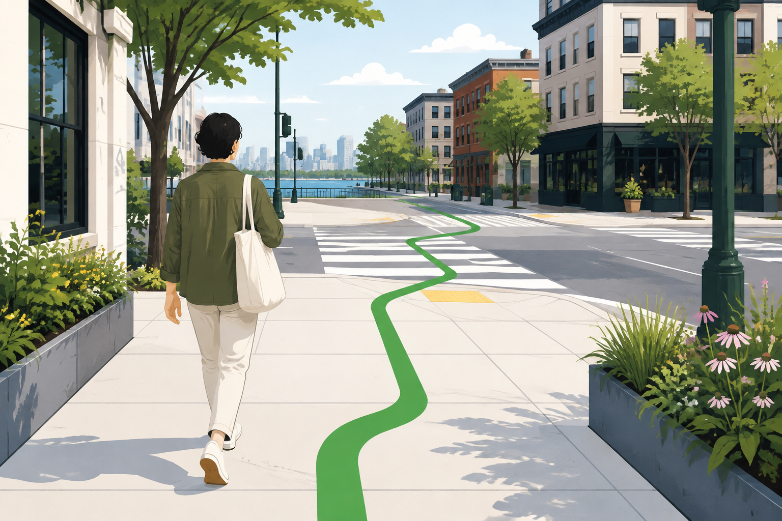
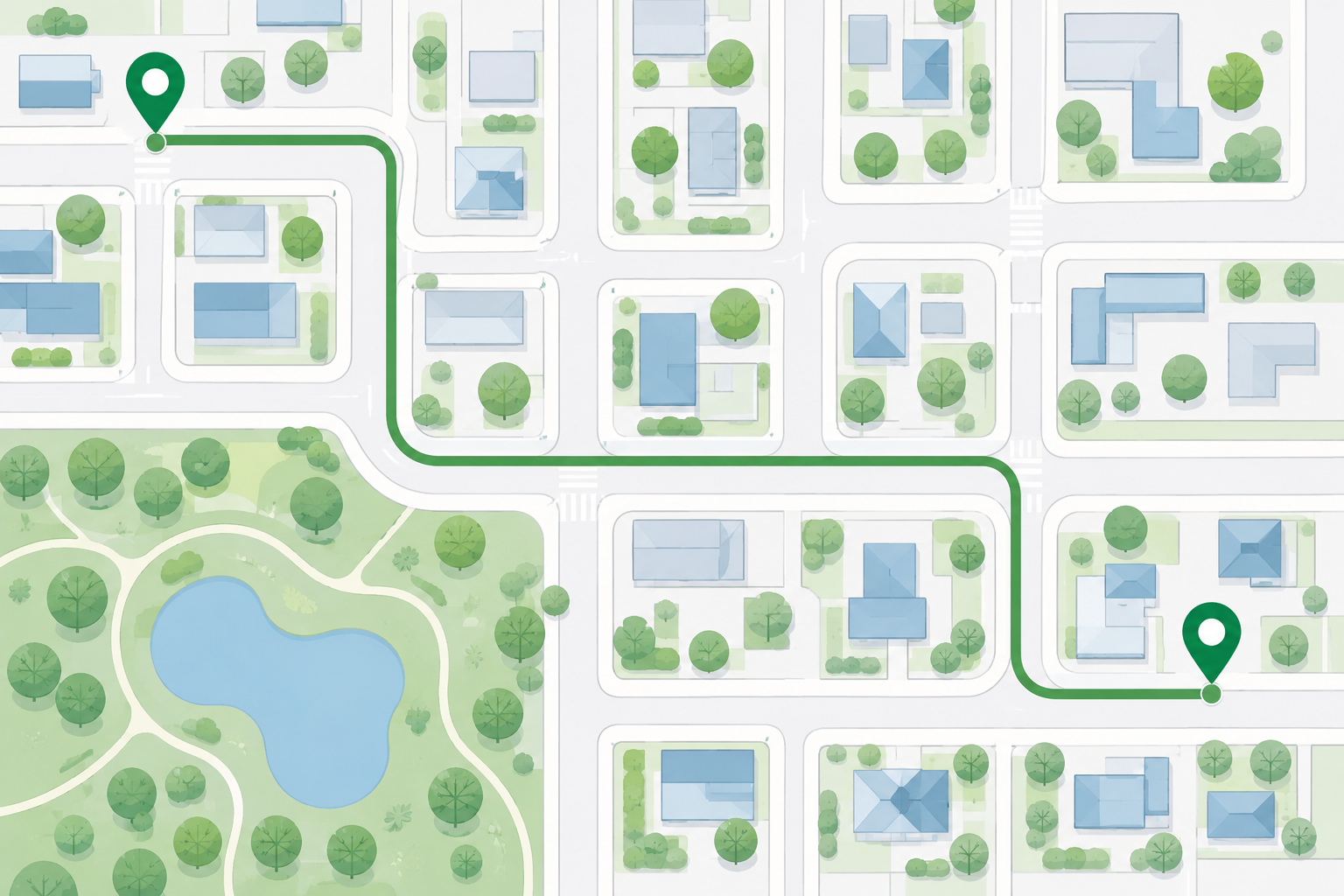
Start in pedestrian mode, not driving mode
A driving route is built around roads that accept vehicles, while a walking route should favor paths that a person can actually use. On the MapQuest directions page, choose the walking option after entering the origin and destination. Confirm that the map is showing the intended mode before reading the distance or time. A short car route can be surprisingly different from a reasonable walk because a vehicle may need a one-way street, a bridge approach, or a larger road connection that is uncomfortable or unavailable on foot.
Use exact entrances for buildings and large properties
Walking directions become much more helpful when the destination is the door, gate, lobby, or public entrance you need. A business name may identify an entire property, while a campus, medical complex, stadium, mall, or transit station may have several entrances. Add the most precise address available and inspect the last part of the route. If you are meeting someone, agree on a visible landmark rather than assuming the map pin marks the exact meeting point. This prevents the common problem of reaching a property but still having to search for the correct entrance.
Preview streets, crossings, and route changes
Before setting out, follow the route visually from beginning to end. Look for major roads, bridges, stairs, underpasses, rail crossings, and places where the path switches from a sidewalk to a shared or less obvious route. A map may show a connection that is technically present but difficult to recognize on the ground. Pay special attention to a first turn from a parking lot or transit stop and to the final approach near the destination. If the route asks you to cross a busy road, identify the legal crossing and avoid improvising across traffic.
Plan for accessibility and personal comfort
A pedestrian route is not automatically an accessible route. The map may not describe curb cuts, elevator outages, surface quality, steep grades, stairs, construction, lighting, or the width of a passage. If you need a step-free or mobility-friendly path, verify those details with the property, transit operator, or local authority. Also consider weather, daylight, footwear, water, and the amount of time you can comfortably walk. A route with fewer turns may be preferable if it uses a well-lit main street, even when another option appears slightly shorter.
Treat walking time as a planning estimate
An online walking time is a general estimate, not a promise about your pace. Stops at crossings, crowds, hills, weather, luggage, and time spent finding a doorway can all add minutes. Build a buffer when you are traveling to an appointment, catching a train, or walking with children. If the route crosses a large public space, use the surrounding streets and landmarks to keep your bearings instead of staring at the screen continuously. Pause in a safe place when you need to check the next turn.
Keep the route flexible once you are outside
Sidewalk work, temporary barriers, private-property rules, and weather can make a planned path impractical. Follow local signs and use a marked crossing even if that adds distance. If a route ends at a driveway or service entrance, continue only where pedestrians are permitted. A phone can be useful for checking the next street, but it should not distract you from traffic, bicycles, other pedestrians, or uneven ground. When the map and the real environment disagree, stop, orient yourself, and choose the safer legal path.
Carry an orientation reference, not just a pin
A destination pin is easier to understand when it is connected to a street name, a crossing, or a visible public landmark. Before walking, note the next major intersection and the entrance you expect to use. If the route begins at a parking area, station, or hotel, record the place where you actually step onto the sidewalk. This small reference helps when a screen is hard to read in bright light or when a route briefly loses position. It also gives a companion a clear way to describe where to meet without sharing a private address unnecessarily.
Common questions
MapQuest Walking Directions FAQ
Does MapQuest have walking directions?
The current MapQuest directions page includes a pedestrian walking mode. Select it before reviewing the route, then verify crossings, entrances, and conditions because map data cannot guarantee a usable sidewalk.
Why is a walking route different from a driving route?
Walking and driving use different networks and restrictions. A pedestrian route may use sidewalks or paths, while a car route may depend on one-way roads, ramps, or vehicle-only connections.
Can walking directions guarantee an accessible path?
No. Verify curb cuts, elevators, stairs, surface conditions, slopes, lighting, and temporary access with the relevant property or local authority when accessibility matters.
Further reading
Official references for this guide
This independent article was written from general route-planning practice and the current references below. Product controls, coverage, and data can change, so confirm details on the live service before a time-sensitive trip.
The strongest MapQuest Walking Directions plan is specific and observant: choose pedestrian mode, preview the crossings, verify the entrance, and give yourself enough time to walk without rushing.