Switch views to answer a different map question
A road view is best for street names, turns, and route continuity. Satellite imagery is best for the shape and surrounding context of a place. Switch between them rather than trying to use one layer for everything. When you arrive at a large venue or campus, the overhead view may show several buildings and parking fields that are difficult to distinguish on a simple line map. The route still determines how a vehicle can travel, while the satellite layer helps you understand what is beside that route.
Use overhead imagery before the final approach
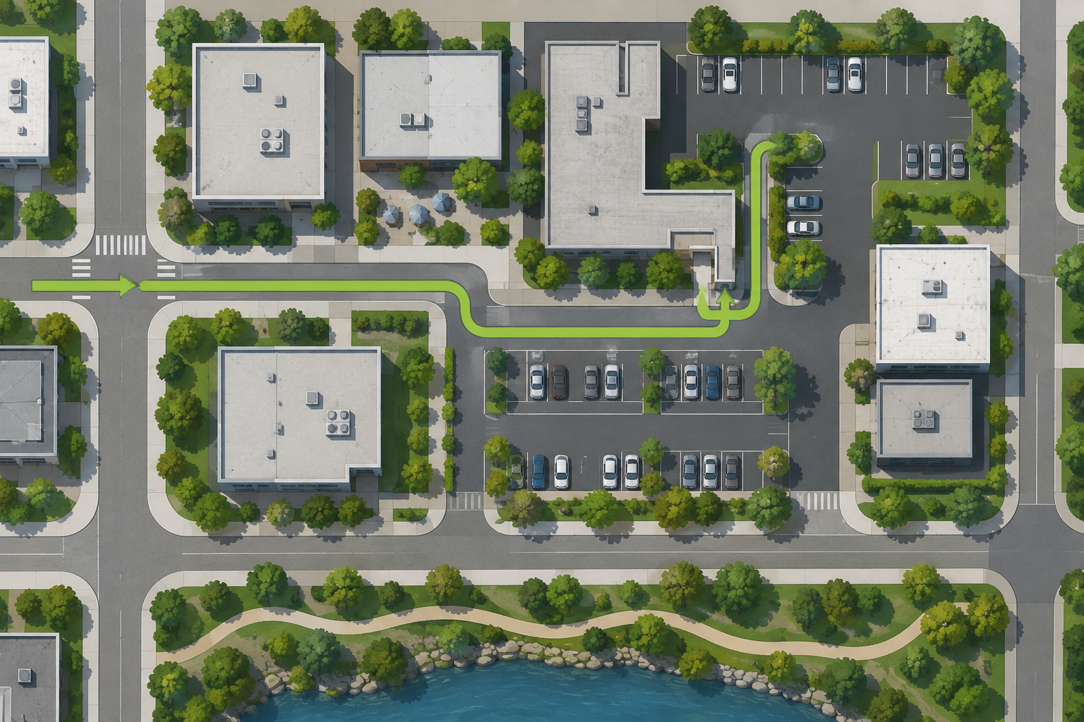
Zoom in on the destination and identify the street, driveway, entrance road, parking area, and nearby landmarks. Compare the property shape with the written address so you know whether the pin sits on the public road, inside a lot, or near one of several buildings. A hospital, airport, stadium, park, or shopping center may require a particular entrance. Save that mental picture while parked; the satellite view is a planning reference, not something to inspect on a moving phone.
Understand what the image can and cannot show
Overhead imagery can show roofs, pavement, vegetation, water, and broad land patterns, but it may not show road signs, current traffic, curb rules, gate status, or recent construction. Shadows can hide features, and a parking lot that appears open may be private or reserved. Imagery can also be dated or seasonally different. If access, safety, or a closure matters, confirm it with official notices or the destination rather than inferring it from color or shape in a picture.
Compare satellite and road views for orientation
A reliable workflow is to find the destination in satellite view, identify the main access road, and then switch back to the road map to trace the route into that entrance. Look for bridges, divided roads, dead ends, parking-lot loops, and one-way circulation. If the two layers appear misaligned, zoom out and use stable road intersections instead of relying on a single building edge. The comparison is most helpful when you know the exact place you are trying to reach.
Use satellite imagery for trip and property context
Beyond navigation, an overhead map can help you decide where to stop, whether a roadside place is near the main route, or how a recreational destination connects to public roads. It is useful for conversation and orientation before a trip, particularly when several nearby places have similar names. It should not be used to measure a private property, infer an active business operation, or make a safety decision that needs current local information. Context is valuable when the conclusion stays within what the image can support.
Refresh the route before leaving
Satellite imagery changes more slowly than traffic and may not reflect a new road or temporary closure. Recalculate the route close to departure and check current weather or transportation notices for important trips. If the live route conflicts with the overhead picture, trust current signs and official instructions. Keep the address, entrance, and a backup reference available in case a map tile or image fails to load. A well-used satellite view answers where the place sits; a current route answers how you can reach it now.
Use different zoom levels for different questions
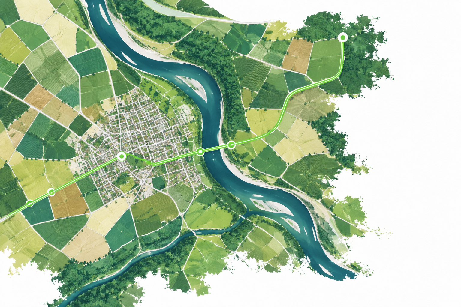
A wide satellite view is useful for understanding a town, river, highway, or park in relation to the route. A close view is better for finding the driveway, parking field, building footprint, or pedestrian connection. Move between those scales rather than staying zoomed in on a single property. If the route seems to end in the wrong place, zoom out until the surrounding street pattern is clear and then trace the final approach again. This reduces the chance that a visually detailed but context-poor image sends you toward an incorrect access road.
Common questions
MapQuest Satellite View FAQ
How do I open MapQuest Satellite View?
The current MapQuest directions interface includes a satellite-view control. Open the live map, select the available satellite option, and switch back to the road view when you need street names and turns.
Is MapQuest satellite imagery live?
No. Overhead imagery is captured at a particular time and may be older than current road conditions. Verify construction, closures, access, and traffic with current sources.
Can satellite view show the correct parking entrance?
It may provide useful context, but parking circulation and entrances can change. Confirm the property’s current instructions and follow signs when you arrive.
Further reading
Official references for this guide
This independent article was written from general route-planning practice and the current references below. Product controls, coverage, and data can change, so confirm details on the live service before a time-sensitive trip.
MapQuest Satellite View adds helpful context around a route. Use it to understand the property and nearby landmarks, then return to current road directions for the actual drive.