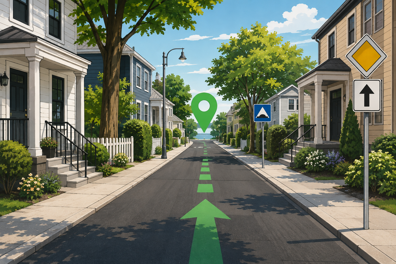
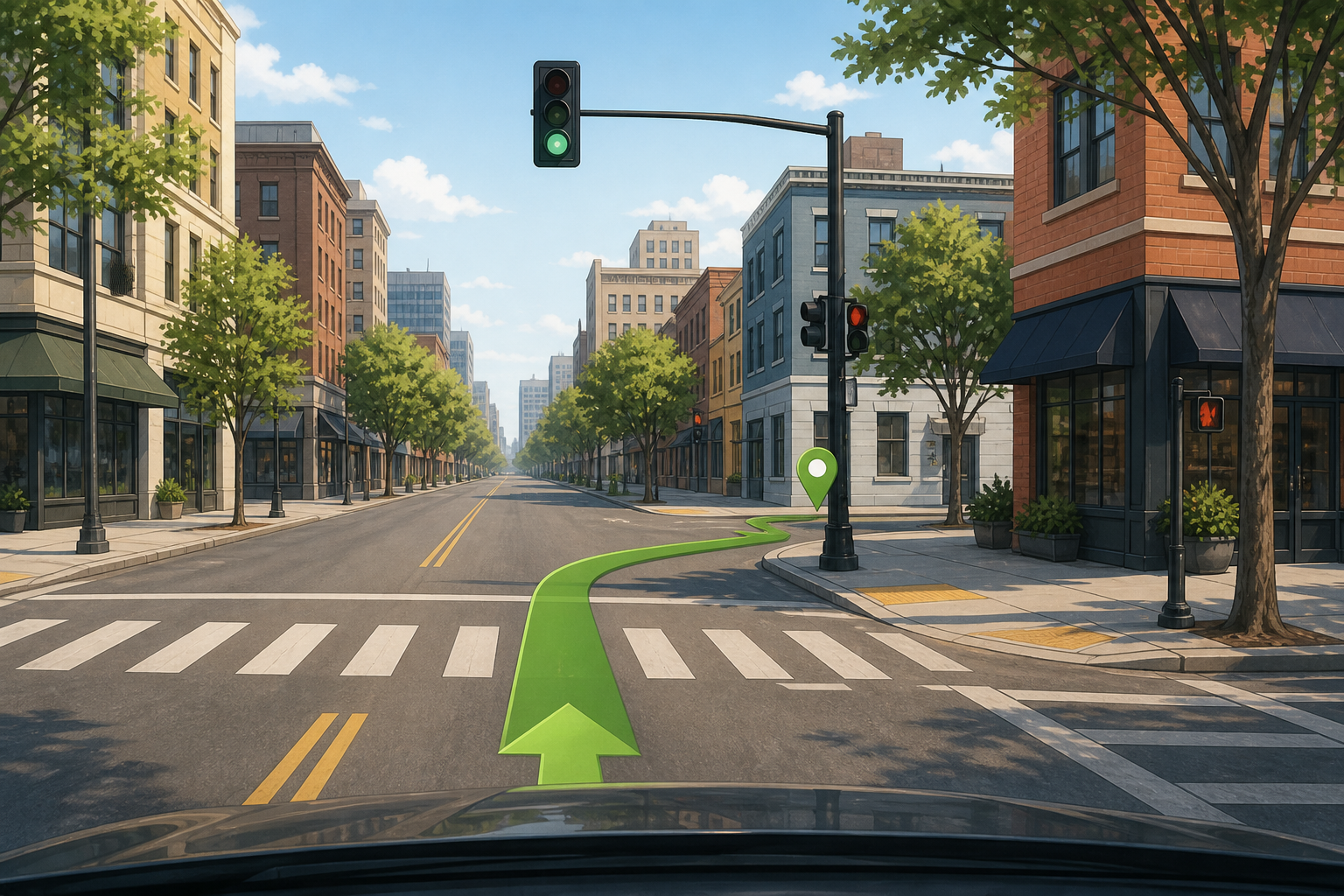
Separate a road map from street-level imagery
A standard road map explains the network: street names, turns, route lines, and nearby places. Street-level imagery adds a visual layer that may show the look of the road from a camera position. Those layers answer different questions. The map helps you decide where to go; imagery helps you recognize what the approach may look like. The current MapQuest experience can change over time and may rely on different imagery coverage by place, so do not assume that a Street View control, provider, or date is identical on every page.
Use visual context to confirm the final approach
The most valuable inspection is often the last few hundred feet. Look for the correct side street, a driveway, a building shape, a bridge, a traffic signal, or a landmark that helps you know when to turn. Large properties may have a public entrance that differs from the address pin. Compare what you see with the route and the written address, then note a cross street or parking approach. Imagery is especially useful for reducing arrival uncertainty before an appointment or a first visit.
Check the image date and expect changes
Street imagery is captured at a particular time. A business can move, a road can be rebuilt, trees can hide a sign, and a construction barrier can change the entrance after the camera passed. Seasonal differences can also make a familiar view look different. If the image appears old or the place has recently changed, confirm the address with the property or a current local source. Never use an image to assume that a temporary closure, traffic pattern, or access rule is still in effect.
Respect privacy and use imagery for orientation
Street imagery is designed for map context, not for identifying private people or inspecting property beyond what the service presents. Keep your use focused on public roads, landmarks, and navigation. Do not treat a blurred or incomplete image as evidence about a person, vehicle, or private activity. For your own trip, the right question is usually simple: which road, entrance, or public landmark will help me arrive? That keeps the tool useful without turning it into a source of assumptions.
Pair imagery with a route and a backup
Street-level imagery is not a substitute for a turn list. Create the route first, inspect the confusing sections, and keep the destination address available in case the visual view does not load. On a phone, set up the route before moving and do not browse imagery while driving. For a remote or time-sensitive trip, print the key directions or save a reference when possible. When the real road differs from the image, follow signs, local instructions, and safe legal access rather than trying to match an old picture.
Know when imagery is not the right evidence
A street view cannot confirm live traffic, current parking availability, road surface, weather, or whether a private gate is open. It also may not cover footpaths, interior corridors, or every access road. Use official transport notices for closures and the destination’s own instructions for entrances and parking. If the question is about a property boundary, construction status, or accessibility, ask the responsible organization. Visual context is a strong orientation aid when its limits are clear.
Use imagery without over-reading it
A visual match can create more confidence than the evidence deserves. The same building color may appear at several places, and a camera angle can hide a side road or make a driveway look public. Check at least two clues, such as the street layout and the neighboring landmark, before deciding that you have found the right entrance. Then return to the written address and route. This habit keeps street-level imagery in its proper role: a helpful orientation layer that supports, but does not replace, current location information.
Common questions
MapQuest Street View FAQ
Does MapQuest have Street View for every location?
No. Street-level coverage, imagery controls, and image dates vary by location and provider. Use imagery when it is available, but do not assume every address has a current panorama.
Can street imagery show a current driveway or entrance?
It may help you recognize an approach, but images can be dated. Confirm the entrance with current signs, the property, or local information when access matters.
Can I use street imagery while driving?
Set up visual references before moving. Do not browse imagery or handle a phone while driving; follow local law, keep attention on the road, and stop safely when you need to check a detail.
Further reading
Official references for this guide
This independent article was written from general route-planning practice and the current references below. Product controls, coverage, and data can change, so confirm details on the live service before a time-sensitive trip.
Use MapQuest Street View as a visual preview, not a live promise: recognize the approach, check the image date, verify the entrance, and let current signs and conditions guide the actual drive.